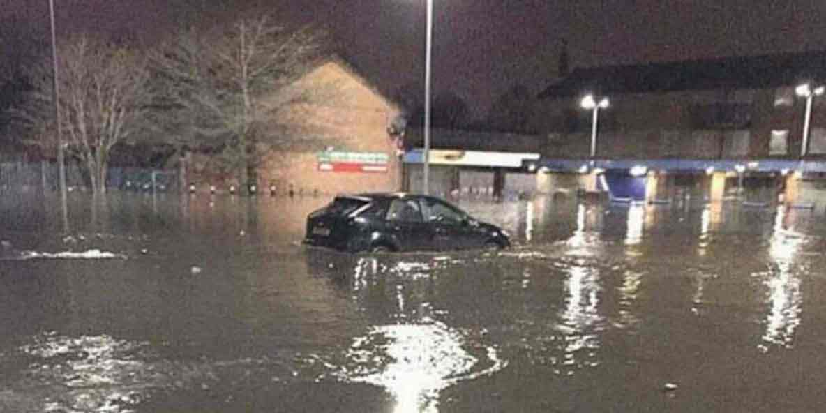
Brand new technology developed by the University of Salford is helping tackle flood risk in the UK by enabling greater prediction of threat levels and closer communication between authorities, practitioners, and local communities.
Experts from the university have been working with Greater Manchester Local Resilience Forum, Ordnance Survey, and Salford City Council to help predict flooding events using the specially developed MOBILISE digital platform, a multi-stakeholder collaboration environment for building resilient communities for a sustainable future.
MOBILISE, developed by the University’s THINKlab, gathers information from the Earth Observation groups, river sensor networks, real-time weather information services, hazard simulation services, and local communities to present data in an innovative virtual environment, to ensure that everyone working on the problem has an accurate picture of the local risks and to foster greater collaboration for building resilience against natural disasters.
The MOBILISE digital platform supports multiple agencies involved in disaster management to capture a highly accurate picture of an incident and manage their response strategies accordingly. The platform is capable of mapping social, infrastructure, economic, and natural vulnerabilities for a defined hazard or set of hazards, allowing agencies to work together to reduce such vulnerabilities and build resilience. It can also be used to understand the cascading impact of hazard events on networked critical infrastructure, the community and the economy.
Professor Terrence Fernando, Director of THINKlab at the University of Salford, said:
Quote“Thanks to the availability of data from the Ordnance Survey, with MOBILISE we were able to demonstrate how the value of geospatial data can be realised for collaborative resilience building, community engagement, and multi-agency training and exercises and inspire other government agencies around the world.”
Platforms such as MOBILISE demonstrate the power of data in responding to natural disasters and extreme weather emergencies, all of which will become more frequent and destructive with climate change. By coordinating relevant parties and merging information rapidly via authoritative mapping expertise, effective decisions can be made and lives protected.
Another advantage of MOBILISE is its ability to run possible hazard scenarios before they happen to get a measure of the devastation they can cause and identify pre-emptive actions to reduce their impact on the built and natural environment. Such scenario planning can help to strengthen multi-agency training for disaster response, implement resilient building programmes, and install early warning systems for the most vulnerable communities. It is the key to building a more resilient society to respond to emerging climate-induced threats.
For more information about how the Greater Manchester Resilience Forum digital toolkit is helping to implement climate adaptation and resilient measures, please visit the website
To understand more about the MOBILISE digital platform, please visit: MOBILISE digital platform


Recommended Comments
There are no comments to display.
Create an account or sign in to comment
You need to be a member in order to leave a comment
Create an account
Sign up for a new account in our community. It's easy!
Register a new accountSign in
Already have an account? Sign in here.
Sign In Now