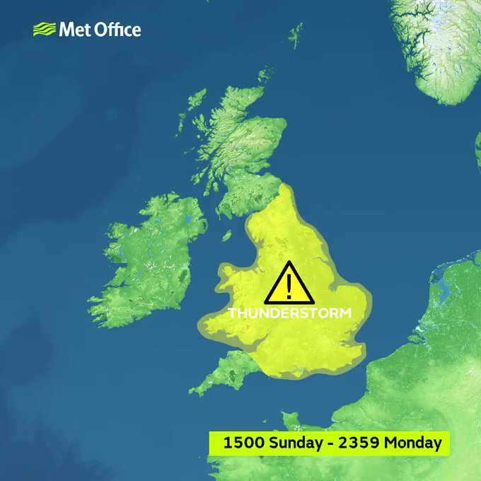
The Met Office forecasters have issued a yellow warning this afternoon and a spokesman has said that thunderstorms may develop bringing with them the high possibility of torrential rain and localised flooding.
The heavens are set to be lit up by natures natural fireworks on Sunday as thunderstorms develop over the course of a 33 hour period. Heavy downpours will come along with them and they are expected to move north northeastward across most of the UK with Salford and Manchester in their path.
There is also a possibility that heavy rain and already soggy ground could lead to flooding and so rivers and watercourses will be monitored both during and after the storms have passed, in any event the new flood defences put into place in Salford will be deployed if needed to minimise any threat.
Drivers are being advised to be watchful for surface spray on roads and are being advised to slow their speed to prevent aquaplaning and accidents.
The storms will come after what is otherwise set to be a relatively dry and warm weekend.
Friday should be mostly dry with sunny spells expected and temperatures should reach highs of 17C.
As for Saturday and the start of Sunday it will be sunny and warm with highs of 21C to 22C.
A spokesman from the Met Office said:
Quote"Spells of rain are expected to affect many areas at times from Sunday afternoon and into Monday, moving north-northeastward and perhaps turning thundery at times in some places.
"Scattered heavy showers and thunderstorms may also develop between bands of rain, particularly on Monday afternoon.
"Where thunderstorms do develop, 20 to 30 mm rain may fall locally in an hour, and close to 40 mm of rain may fall in two or three hours."

In advance of the storms the following advice has been issued:
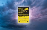
Unplug all non-essential appliances, including the television, as lightning can cause power surges.
If caught out in the storm try to seek shelter if possible. When you hear thunder you are already within range of where the next ground flash may occur, lightning can strike as far as 10 miles away from the centre of a storm.
Avoid using the phone - telephone lines can conduct electricity
Avoid using taps and sinks - metal pipes can conduct electricity
If outside avoid water and find a low-lying open place that is a safe distance from trees, poles or metal objects
Avoid activities such as golf, rod fishing or boating on a lake
Be aware of metal objects that can conduct or attract lightning, including golf clubs, golf buggies, fishing rods, umbrellas, motorbikes, bicycles, wheelchairs, mobility scooters, pushchairs, wire fencing and rails. If you are in a tent, try to stay away from the metal poles
If you find yourself in an exposed location it may be advisable to squat close to the ground, with hands on knees and with head tucked between them. Try to touch as little of the ground with your body as possible, do not lie down on the ground
If you feel your hair stand on end, drop to the above position immediately
Avoid downed power lines or broken cables
If someone is struck by lightning, they often suffer severe burns. The strike also affects the heart, so check if they have a pulse.
Edited by KARL


Recommended Comments
There are no comments to display.
Create an account or sign in to comment
You need to be a member in order to leave a comment
Create an account
Sign up for a new account in our community. It's easy!
Register a new accountSign in
Already have an account? Sign in here.
Sign In Now